Hiking

When it comes to hiking in the Jungfrau region, you can't go wrong. Wherever nature lovers turn, they will find perfectly signposted routes: to summits or mountain lakes, into valleys or along streams. Whether pleasure or ambition is the motivation: if you follow the yellow arrows, you will find your way.

Under the following link you will find the current operating conditions of the hiking trails. Hiking and walking on the hiking trails and mountain paths is at your own risk and responsibility. The operating conditions of the hiking trails are intended as a recommendation. 

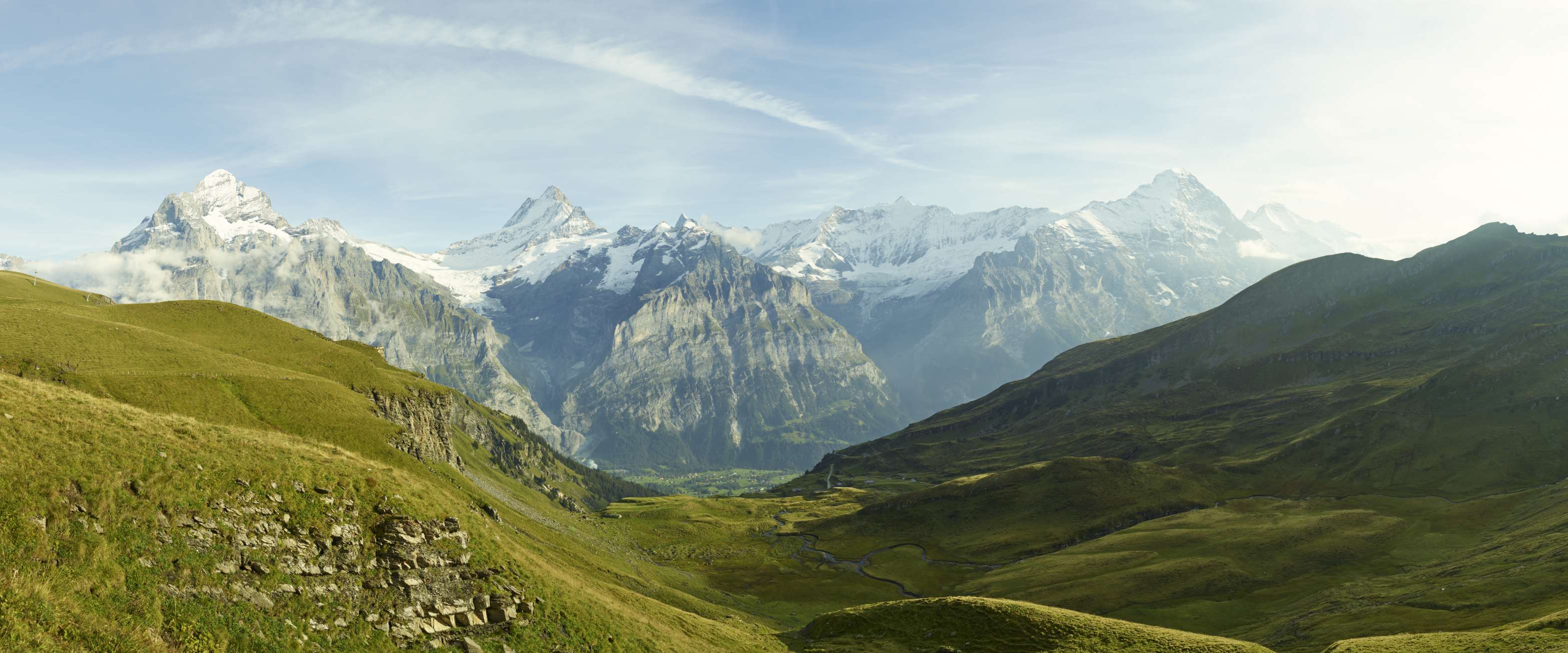
Hiking in front of the most beautiful panorama of Switzerland

Discover the highlights of the Jungfrau Region!

  • In one hour to the world-famous Lake Bachalpsee

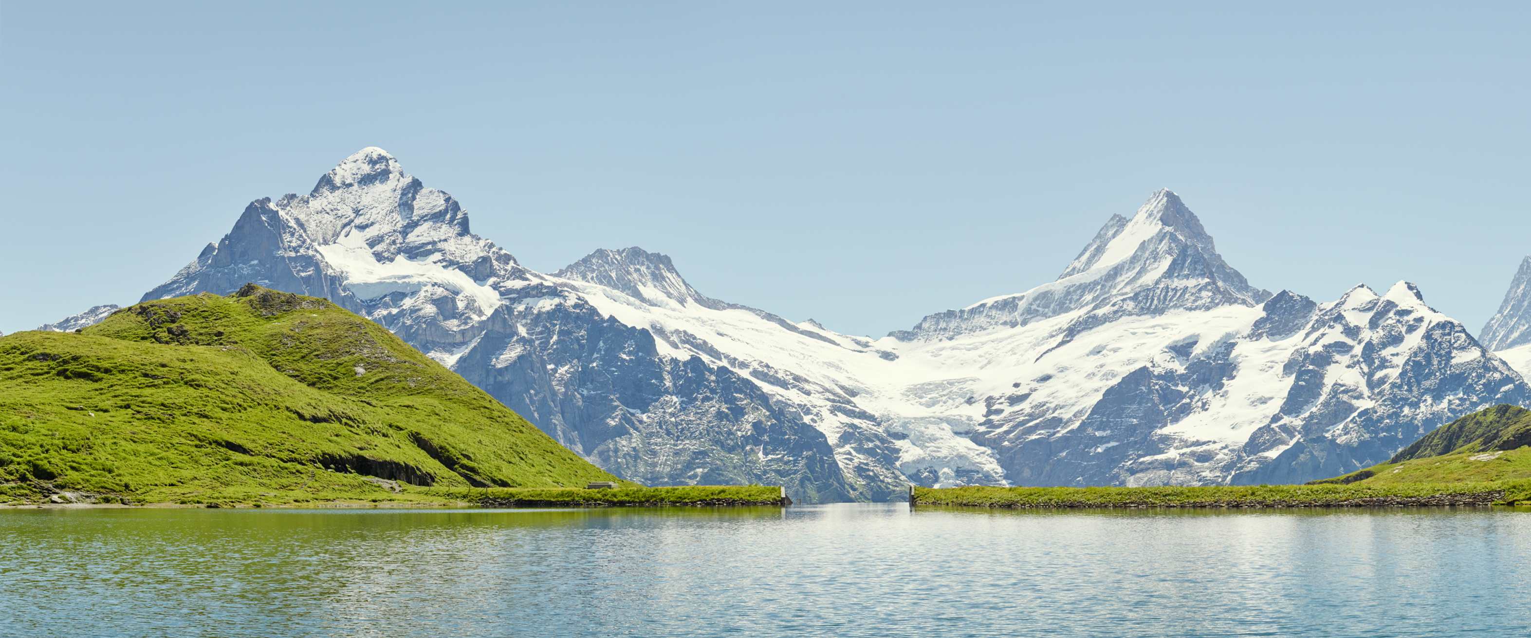
    In one hour to the world-famous Lake Bachalpsee

    It’s not hard to discover the beauty of Lake Bachalpsee: a well-maintained hiking trail leads to the “blue jewel” of the Alps in less than an hour. The start and end point is the First mountain station.
    • 2,265 m
    • Time required ~ 2 hours (return trip)
  • Eiger Trail

    Eiger Trail

    Experience the wall of walls up close! From the Eigergletscher Station, the Eiger Trail winds along the imposing Eiger North Wall down towards Alpiglen.

    • 2'348 - 1'616 m
    • Time required ~ 3 hours
  • Jungfrau Eiger Walk
    Kleine Scheidegg Jungfrau Eiger Walk Fallbodensee

    Jungfrau Eiger Walk

    It cannot be conquered by everyone, yet it can certainly be admired: the Eiger North Face. If you are looking for a gentle walk, you can marvel at the Jungfrau Eiger Walk at close range.

    • 2'321 - 2'062 m
    • Time required ~ 1 hour
  • Harder Kulm circular route

    Harder Kulm circular route

    The broad panorama path leads mostly through the pleasantly shady mountain forest, but also offers an expansive panoramic view of Lake Brienz and Lake Thun, the Bödeli between the two lakes and the majestic summits of Eiger, Mönch and Jungfrau.
    • 1'443 - 1'293 m
    • Time required ~ 1 hour
  • First - Schynige Platte high altitude hike in a class of its own

    First - Schynige Platte high altitude hike in a class of its own

    One of the most beautiful high-altitude hikes in Switzerland leads from Grindelwald First to Schynige Platte. The scenic tour leads in around 6 hours past the Bachalpsee to the summit of the Faulhorn and over the Loucherhorn to the Schynige Platte.
    • 2,681 m
    • Time required ~ 6 hours
  • Along the Downhill Course - Lauberhorn Trail
    Kleine Scheidegg Wandern Lauberhorn Trail Panorama Sommer

    Along the Downhill Course - Lauberhorn Trail

    Only those who have travelled the longest downhill stretch in alpine ski racing on foot know how much courage it takes to race down it on skis.

    • 2'316 - 1'098 m
    • Time required ~ 3 hours 25 minutes
  • Get to know the Eiger North Face and its climbers with the Eiger Walk of Fame
    NEW from summer 2024

    Get to know the Eiger North Face and its climbers with the Eiger Walk of Fame

    Dramatic first attempts, triumphant ascents: Immerse yourself in the legendary history of alpinism on the Eiger North Face. From the Eigergletscher, the route runs as a circular trail or down to Kleine Scheidegg.

    • 2'344 - 2'139 m
    • Time required ~ 2 hours 30 minutes

Hiking tickets:

  • Hiking ticket Grütschalp
    From CHF 11.40

    Hiking ticket Grütschalp

    The pleasure of hiking from Grütschalp via Winteregg to Mürren with a fantastic view of the three peaks of Eiger, Mönch and Jungfrau. There's a comfortable journey back to the departure point via rail.
    • All year round except for maintenance work: 06.05.24 - 31.05.24 | 21.10.24 - 08.11.24

List of hikes in the Jungfrau Region:

The most beautiful mountain lakes and sunsets: